Here are reports from April 26, 2018 about each of the five volcanoes on the island of Hawaiʻi.
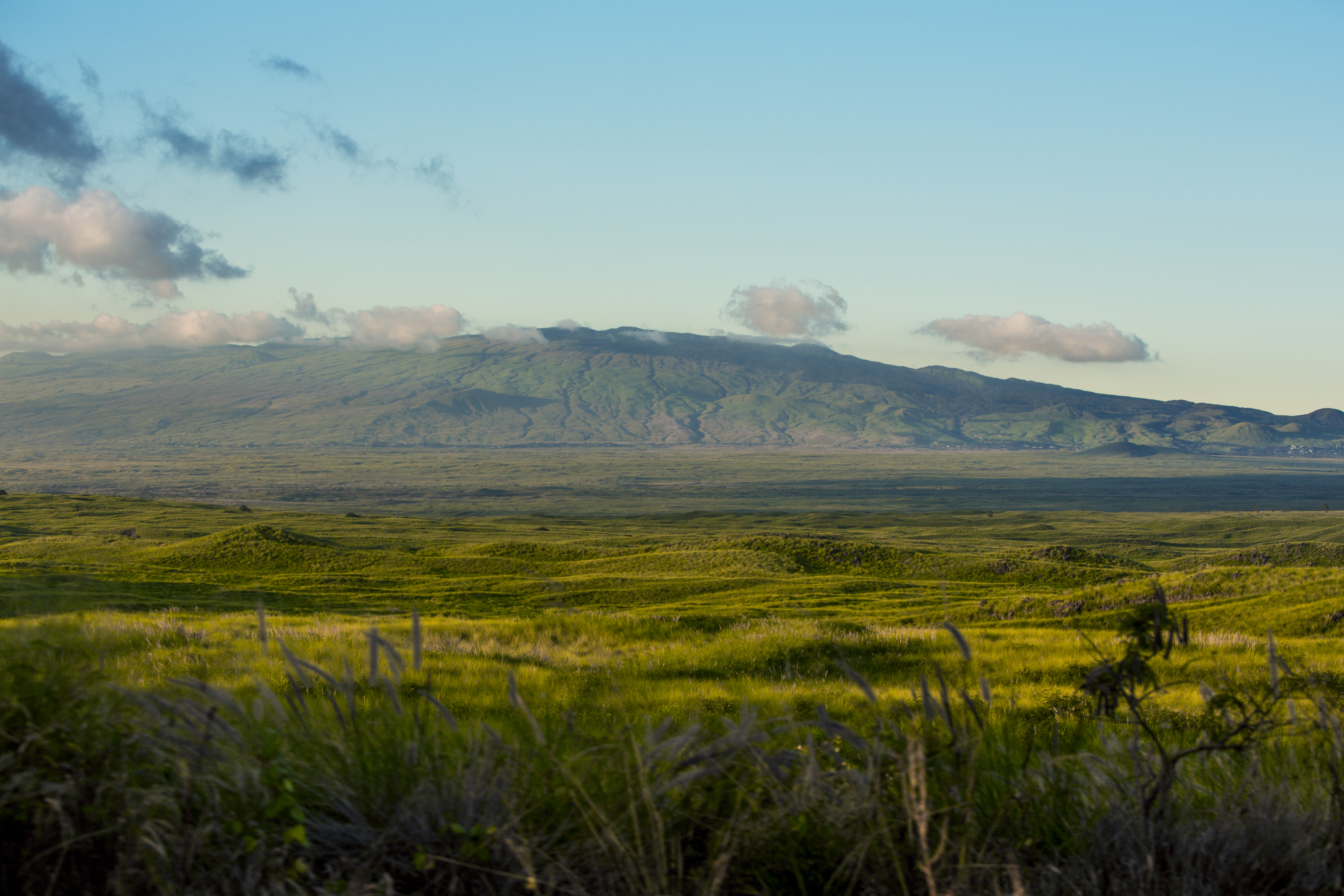
Kohala
20.09° N 155.72° W
Summit Elevation 5,479 ft (1,670 m)
Kohala is an extinct volcano that last erupted about 60,000 years ago.
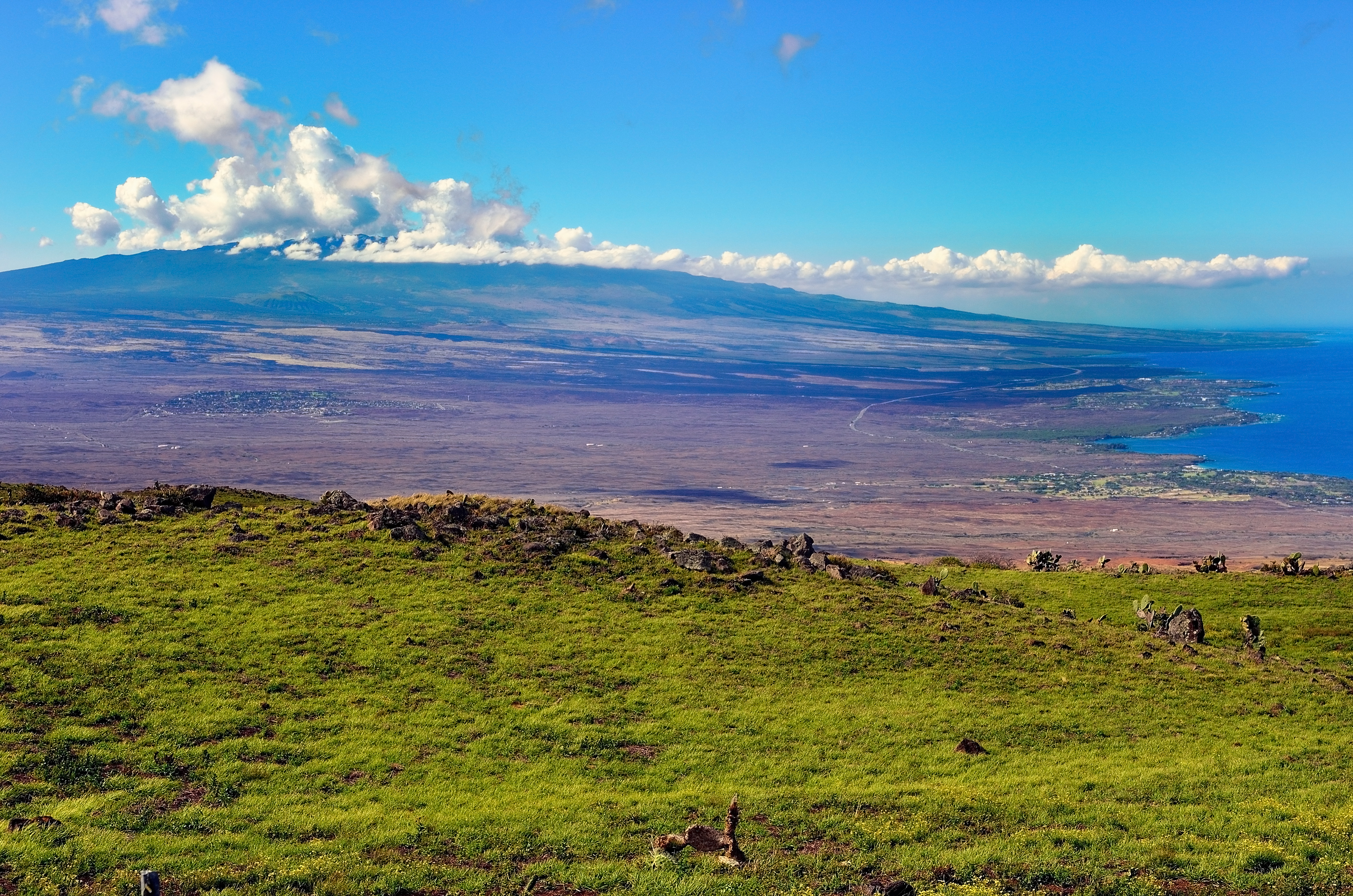
Mauna Loa
19.48° N 155.60° W
Summit Elevation 13,681 ft (4,170 m)
Mauna Loa is an active volcano that is not currently erupting.
Deformation beneath the summit and upper Southwest Rift Zone has been slowing down.
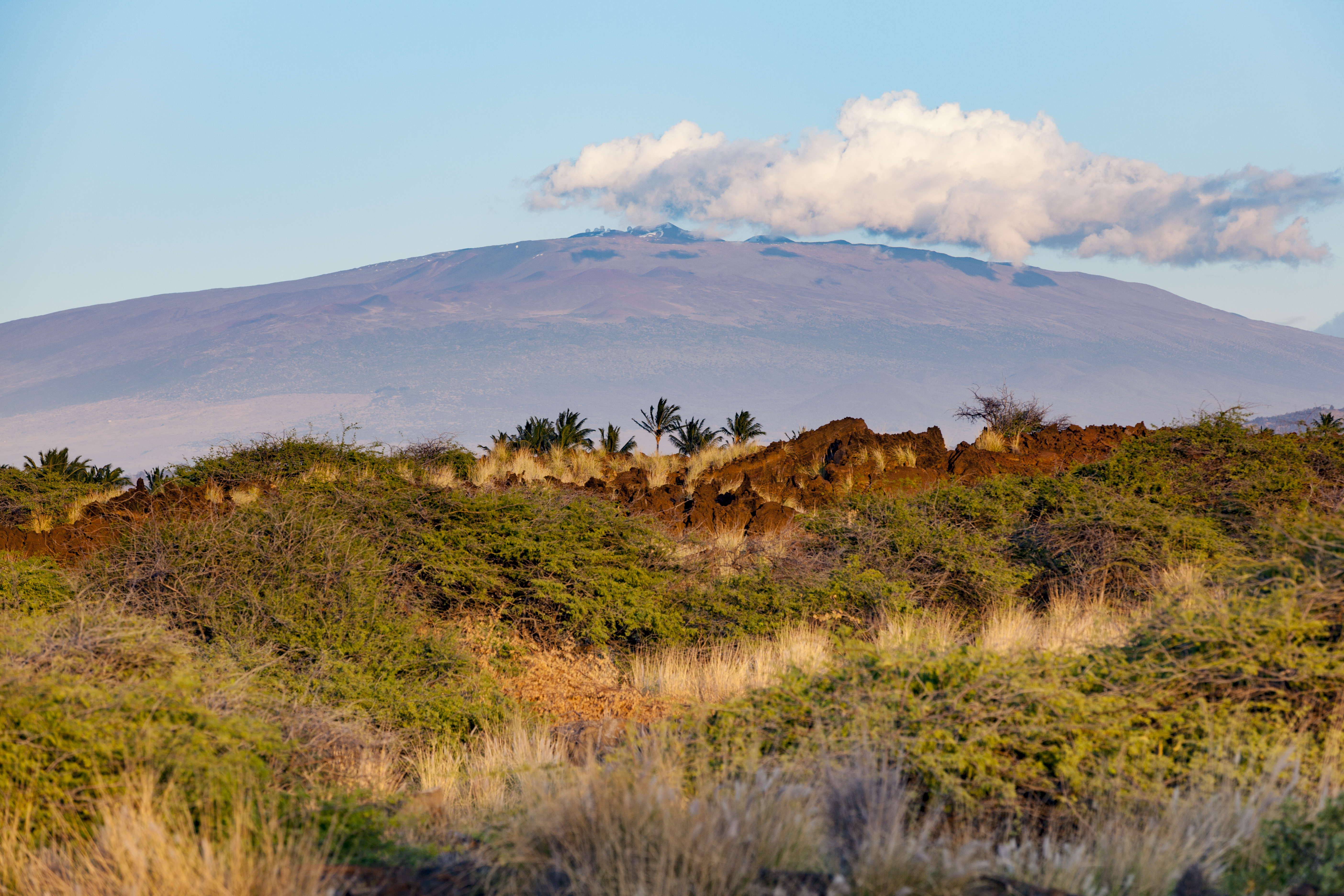
Mauna Kea
19.82° N, 155.47° W
Summit Elevation 13,796 ft (4,205 m)
Mauna Kea is a dormant volcano. It was last active about 4,600 years ago.
Hualālai
19.69° N, 155.87° W
Summit Elevation 8,278 ft (2,523 m)
Hualālai is an active volcano that typically erupts 2 to 3 times per 1,000 years. It last erupted in 1801.
No significant deformation around Hual&amcar;lai has been reported during the past five years.
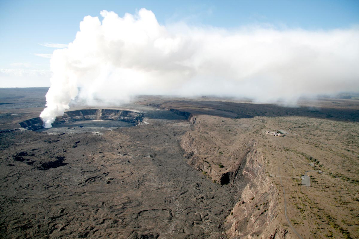
Kīlauea
19.42° N, 155.29° W
Summit Elevation 4,091 ft (1,247 m)
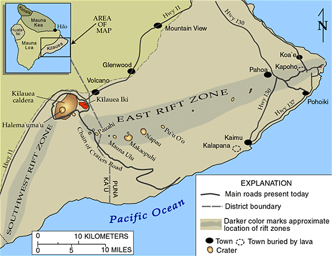
Kīlauea is an active volcano that has been erupting continuously since 1983. Lava flows have occurred from the East Rift Zone (see map) and entered the ocean. New fissures erupted near Puʻu ʻŌʻō (see map) in June 2014 and May 2016. There is an active lava flow currently from Puʻu ʻŌʻō, within an area that is closed to the public. There is no lave entering the ocean at this time.
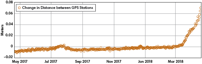
Deformation from the past year is shown in the graph below.
Change in distance between two GPS stations near Puʻu ʻŌʻō
The table shows the earthquakes that occurred on or near the island of Hawaiʻi during the dates of March 3, 2018 to May 3, 2018.* Use the coordinates of the location to plot the earthquakes on the map. *Earthquakes shown are of magnitude 3.0 or greater.
Date
Time
Location
3/3/18
6:10 pm
19.42°N, 155.61°W
3/4/18
9:31 pm
19.43°N, 155.61°W
3/21/18
3:49 am
19.21°N, 155.41°W
3/28/18
1:43 am
18.91°N, 155.37°W
4/4/18
8:24 am
18.90°N, 155.36°W
4/26/18
11:08 pm
19.38°N, 155.24°W
5/1/18
4:40 am
19.34°N, 155.06°W
5/1/18
5:49 am
19.33°N, 155.06°W
5/1/18
12:39 pm
19.27°N, 155.10°W
5/1/18
1:12 pm
19.34°N, 155.02°W
5/1/18
3:52 pm
19.34°N, 155.02°W
5/1/18
10:07 pm
19.34°N, 154.99°W
5/2/18
4:00 am
19.31°N, 154.97°W
5/2/18
6:47 am
19.33°N, 154.98°W
5/2/18
9:31 am
19.31°N, 154.96°W
5/3/18
9:22 am
19.38°N, 154.86°W
5/3/18
9:22 am
19.38°N, 155.22°W
5/3/18
8:30 pm
19.34°N, 155.07°W
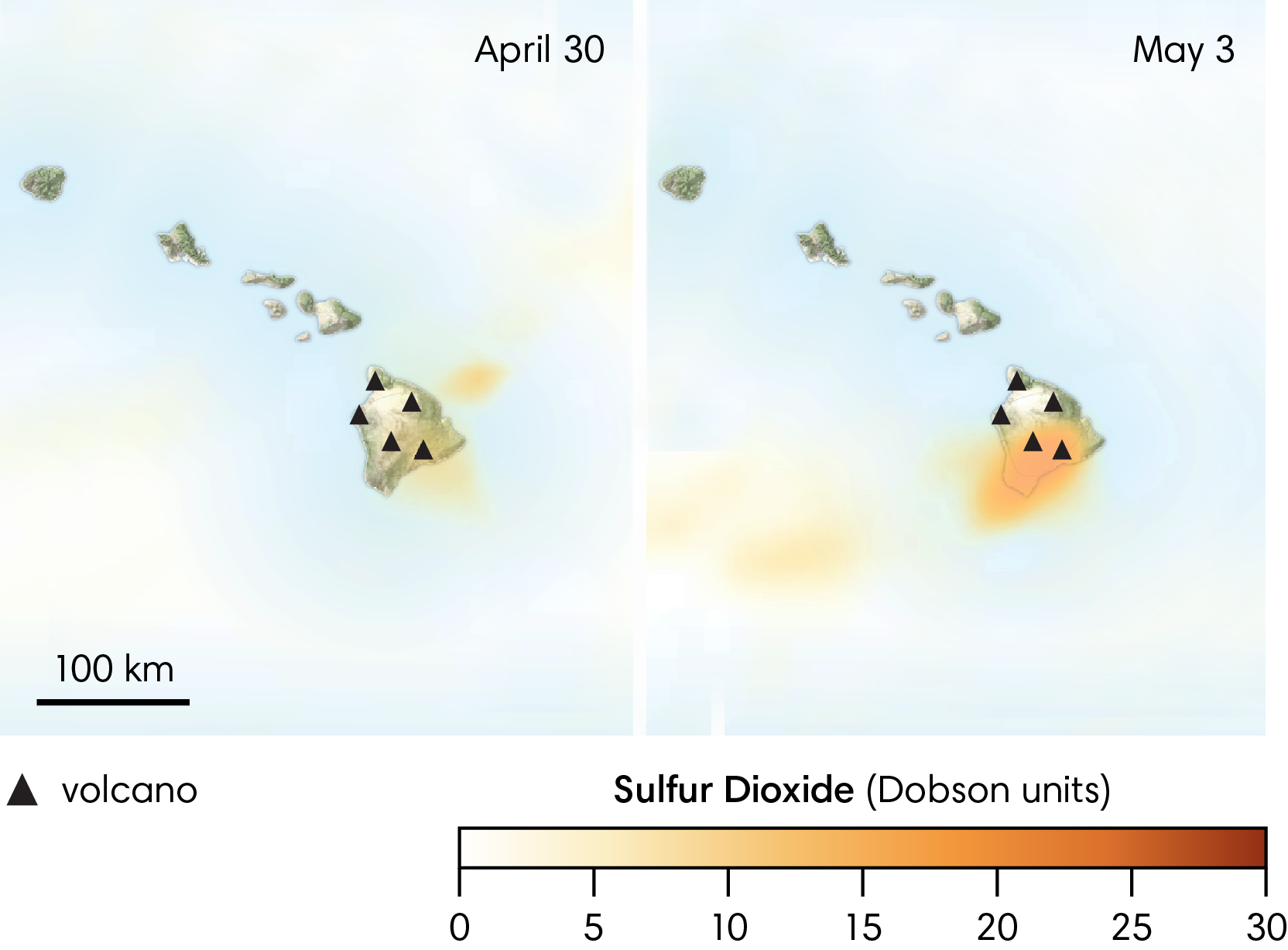
SULFUR DIOXIDE
The map below shows the amount of sulfur dioxide that was present in the atmosphere around Hawaiʻi on April 30 and May 3, 2018.