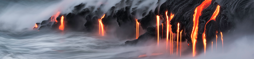
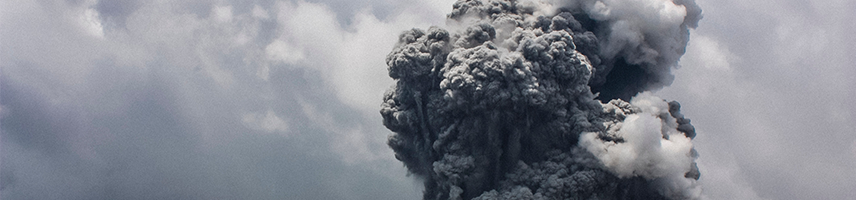
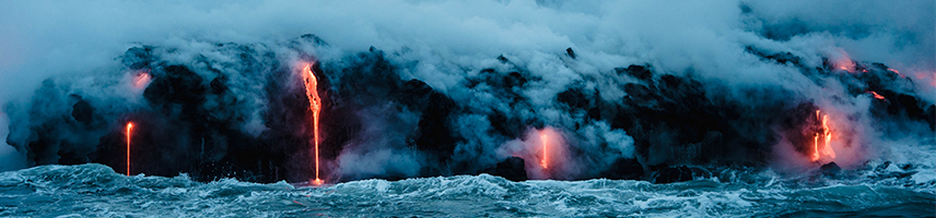
Public attention was captured in May 2018 when the Hawaiian volcano Kīlauea erupted with rivers of lava that flowed through Leilani Estates and other nearby neighborhoods. Your students may have seen videos of hot lava covering roads, destroying homes, or reaching the ocean with clouds of hot steam. You can capitalize on their interest by using data from this real-world event.
In these middle school lessons, students take on the role of volcanologists in order to analyze geologic data about the May 2018 eruption of Kīlauea and provide recommendations for mitigating its harmful effects.
A new eruption of Hawaiʻi’s Kīlauea volcano began in early May 2018 following changes in geologic activity. The eruption produced volcanic hazards that effected residents of the area and changed the landscape of the island.
How do scientists monitor volcanoes in order to predict hazards and keep the public safe?
The lessons are correlated to middle school standards including the Next Generation Science Standards (NGSS), Texas Essential Knowledge and Skills (TEKS), and Florida Next Generation Sunshine State Standards for Science. The objectives of the lessons focus on natural hazards with an emphasis on recognizing patterns, interpreting data and gathering evidence.
This series of lessons is based on the 5E model of engage, explore, explain, elaborate, and evaluate.
|
Lesson 0: About Volcanoes
Students explore the different types of volcanoes, distinguish between active, dormant, and extinct volcanoes, and work with a team to classify volcanoes into these categories. If your class has already explored earth science concepts related to volcanoes, you may opt to skip Lesson 0. |
 Download Lesson 0 | |
|
Lesson 1: Monitoring Hawaiʻi Volcanoes
This lesson takes place in the months and days immediately prior to the Kīlauea eruption. Students analyze data about earthquakes, sulfur dioxide, and deformation in order to predict any changes in volcanic activity and make safety recommendations to the public. |
 Download Lesson 1 | |
|
Lesson 2: Monitoring the Kīlauea Eruption
This lesson takes place during the first few days of the eruption that began on May 3rd. Students analyze thermal images, photographs, maps of the area, and a graph of the lava lake level in order to describe the progression of the eruption, identify hazards to the public, and make recommendations to keep people safe. |
 Download Lesson 2 | |
|
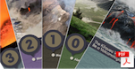
Final Project: Hazard Response Plan
In this culminating task, students work with a team to create a Volcanic Hazard Response Plan in a format of their choosing. Students may create a pamphlet, short television program, or mock web page. Their plan should address the monitoring, predictions, and recommendation responses that they have worked on throughout the unit. |
 Download Final Project | |
RESOURCESFor more information about volcanoes and the Kīlauea eruption, visit the following:
| ||
COMMENTS
Leave a comment regarding these lessons.